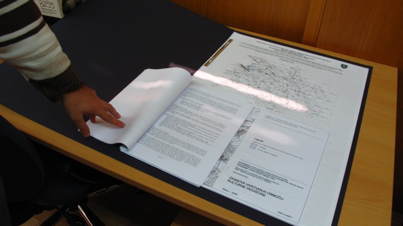
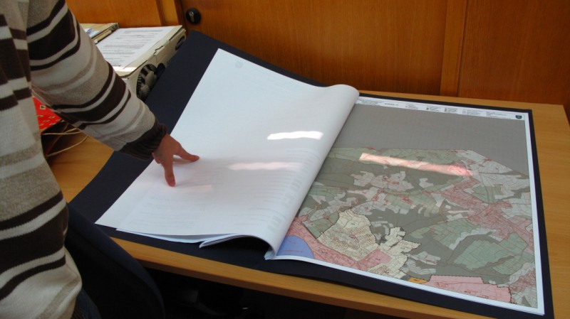
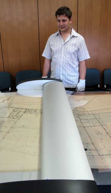
Digitization of spatial projects
We perform the digitalization of project documentation and geocoding of graphic supplements of project/spatial documentation:
- scanning spatial and projection documentation (various formats up to the available width of 116 cm),
- old documents are protected with a special foil,
- including scanograms and other images in space (geocoding),
- conversion into electronic documents of a suitable format and density,
- establishing and maintaining a viewer of digital documentation, spatial planning documents and graphic supplements. More …
Figure shows the preparation and scanning of spatial planning documents with the Contex SD4430 belt scanner (width: 119 cm).